|
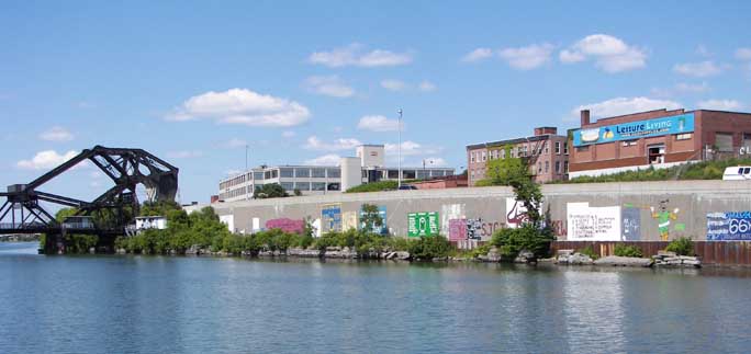
View from the Bird Island Pier looking north at the Ferry Street Lift Bridge. City's shore is where the Erie Canal towpaths were located (now Route 190). The Erie Canal was filled in during the 1930s and the city's leaders moved to rid the waterfront of the squatters neighborhoods along the Towpath and Marsh. Graffiti (next photo, also) was created by West Side Rowing Club high schoolers. |