
web site consulting by ingenious, inc.
Reprinted with permission as a public service by the Landmark Society of the Niagara Frontier, now the Preservation Buffalo Niagara
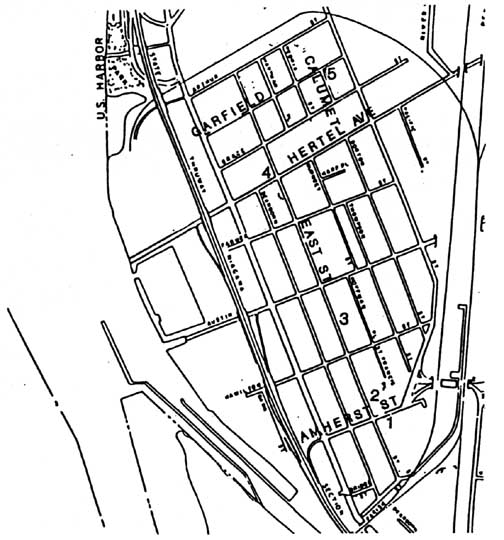
Lower Black Rock / Black Rock Dam
MAP
Black Rock - Links
Located north of Scajaquada Creek, Lower Black or Black Rock Dam as it came to be known, developed after the canal had bypassed Upper Black Rock. While the canal functioned as a curse to one, it was a blessing to the other.
In the early 1820s, Lower Black Rock began to develop a residential identity as German and Irish immigrants began to settle in the area. Attracted to work in the area, they quickly formed a tightly knit community.
Being along the canal, the villagers capitalized on the power generated by the lock located at the foot of Austin Street. Here they harnessed the water power for the operation of flour mills, saw mills and other water related industry. Consequently, with the prospects of work nearby, the area gained an increased residential identity.
As important as the lock's industrial purpose was, it also served a utilitarian function for the residents. Prior to its closing in 1913, the lock served as footbridge to Squaw Island. Indicative of the German family nature, they would cross the lock and the mill to hold picnics on the island.
© 1995 James Napora
Page by Chuck LaChiusa with the assistance of David Torke
| ...Home Page ...| ..Buffalo Architecture Index...| ..Buffalo History Index... |.....E-Mail ...| .